Not for navigation, always Hydrographic Charts
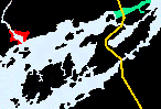
WOLFE .  ADMIRALITY .  LAKE FLEET .  NAVY .  IVY LEE .  GRENADIER .  BROCKVILLE .  EASTWARD  . 


Thousand Island Bridge

Bridge Area


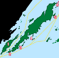
Canadian Hydrographic Charts 1438, 1439
Bridge Islands
   
# 1  on map as Constance Isl
# 2  on map as
Georgina Isl
# 3  on map as Hill Isl
# 4  on map as Raft Narrows begins on the eastern side of the Ivy Lea Bridge.
# 5  on map as Wallace Island Small craft channel runs north of here.
# 6  on map as Ash Island


Grenadier Island

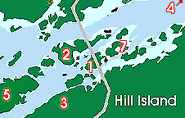
Canadian Hydrographic Charts charts 1436,1437
Grenadier Island
# 1  on map as Tar Isl passage is not recommended for most cruising boats
# 2  on map as Grenadier Isl. Park S. between Doctor Island and the larger Little Grenadier Island is surprising & old.
# 3  on map as Hooper Isl has a sheltered anchorage in the bay between it and Shanty Island
# 4  on map as Slim Isl protected from St Lawrence by a string of small island and shoals
# 5  on map as Long Schooner Islclose off the channel sheltered from prevailing wind.
# 6  on map as Adelaide Isl IS just off the map to the east and.


WOLFE .  BATEAU CH .  ADMIRALITY  .  LAKE FLEET .  GRENADIER .  BROCK .  EASTWARD


SITE LINKS

Features & Reference

Cruising guides


TOP of PAGE

Sponsored by Canadianet Communications for all your digital image acquisition requirements

copyright 1999 2000, 2001 all rights reserved